Rain Gear Required: A Soggy Sunday Forecast for Wollongong
Wet Weather Settles Over the Illawarra
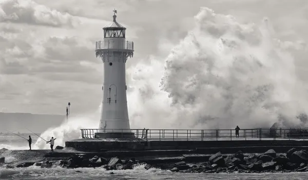
Residents of Wollongong should keep their umbrellas close at hand this Sunday, March 8, 2026, as a persistent weather system brings significant rainfall and high humidity to the Illawarra region. After a week of variable conditions, today marks a distinct shift toward a much wetter pattern, with showers expected to dominate the majority of the day and evening. The Bureau of Meteorology and local observations indicate a high probability of precipitation throughout the coastal strip.
Morning: A Damp Start with High Humidity
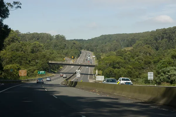
The day has begun with light rain and a thick layer of humidity, which peaked at approximately 94% during the early hours. Early risers would have noticed a heavy mist hanging over the Illawarra Escarpment, with temperatures starting at a mild 19°C. While the rain remains relatively light during the morning, the high moisture content in the air makes for a muggy start to the day. Visibility on the roads may be slightly reduced during heavier bursts of drizzle, so motorists are advised to take extra care on the M1 and local coastal routes.
Afternoon: Showers and Peak Temperatures
As we move into the afternoon, the likelihood of rain remains high at an 80% chance. Forecasters are anticipating a total rainfall accumulation of between 10mm and 20mm by the end of the day. The mercury is expected to reach a maximum of 22°C. Despite the relatively mild temperature, the high humidity will ensure it feels clammier than the numbers suggest. These showers may become more consistent during the mid-afternoon, potentially impacting outdoor community events. If you are planning a trip to the Wollongong Harbour or a stroll along the Blue Mile, the window for dry weather will be quite narrow and unpredictable.
Evening and Night: Persistent Drizzle
The wet weather is not expected to clear up as the sun sets. The evening forecast calls for continued light rain with a 65% chance of precipitation through the night. Temperatures will slowly retreat to a steady 19°C. While no severe thunderstorm warnings are currently in place for the region, the persistent nature of the rain could lead to localized ponding on roads and in low-lying areas. The humidity will remain high, hovering around 85%, ensuring a damp and heavy end to the weekend.
Wind and Coastal Conditions
Winds today are primarily coming from the south, with steady breezes and occasional gusts reaching up to 22 km/h. While these are not gale-force conditions, the southerly flow will contribute to the cooler feel of the afternoon. Key summary points for today include:
- Temperature Range: A low of 19°C and a high of 22°C.
- Rainfall: 80% chance of rain with 10-20mm expected.
- Humidity: Extremely high, ranging from 85% to 94%.
- Wind: Southerly gusts peaking at approximately 22 km/h.
Looking ahead, the rain is expected to linger into Monday morning before a clearing trend begins to take hold later in the week.
Wollongong’s Massive Book Fair, Morning Markets, and Community Arts Today

Gong Morning Briefing: Supercars Speculation and a Busy Friday in the Mall
Speed Restrictions at Mount Ousley and Sydney Event Prep Impact Friday Commute