Storm Clouds Gather Over the Gong: Severe Afternoon Thunderstorms and Flash Flood Risks

A Volatile Saturday: Storms and Flash Flood Risks for Wollongong
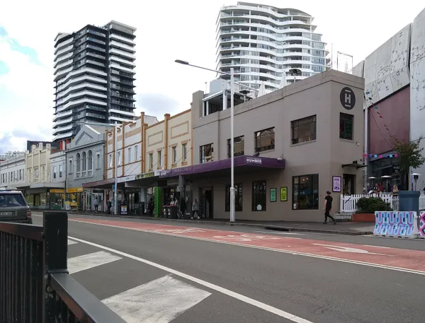
Wollongong residents are waking up to a heavy, humid atmosphere this Saturday, March 7, 2026, as a significant weather system moves across the Illawarra. While the early hours may provide some brief glimpses of sunlight through the clouds, the regional forecast indicates a highly unstable day ahead with severe weather conditions expected to peak during the afternoon and evening hours. The combination of high moisture and an approaching trough is set to trigger a sharp shift in conditions for the South Coast.
Temperature and Humidity Outlook
The mercury is set to reach a maximum of 27°C today, following a mild overnight low of 21°C. Despite the persistent cloud cover, the humidity remains exceptionally high, peaking at approximately 92%. This creates a "feels like" temperature that may climb into the low 30s during the middle of the day. This moisture-rich environment is providing the fuel necessary for the atmospheric instability predicted by meteorologists, making the air feel thick and heavy before the change arrives.
Afternoon Storms and Rainfall
The Bureau of Meteorology has forecast a very high chance of precipitation, currently sitting at 95% for the daytime period. While the morning remains mostly cloudy with only isolated patches of drizzle, residents should prepare for a rapid change after midday. Key features of today's forecast include:
- Scattered Thunderstorms: Likely to develop in the early to mid-afternoon across the Illawarra.
- Severe Potential: Some storm cells may become severe, bringing the risk of damaging winds and large hail.
- Rainfall Totals: General expected falls are between 10mm and 20mm, though localized totals could be significantly higher if a storm cell stalls over the coast.
- Wind Shift: Light and variable winds this morning will shift to a more consistent southerly flow between 15 and 25 km/h by the late afternoon.
Severe Weather Alerts and Safety
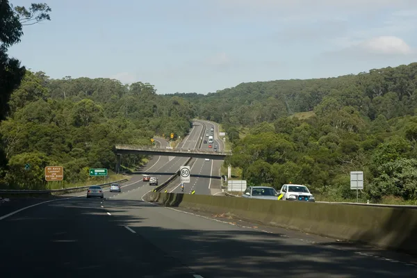
A Severe Thunderstorm Warning is active for the Illawarra district, including Wollongong, specifically highlighting the threat of heavy rainfall that may lead to flash flooding. Low-lying areas and roads near creeks are at particular risk due to the intensity of the predicted downpours. The State Emergency Service (SES) has issued several safety reminders for the community today:
- Avoid walking, riding, or driving through floodwaters.
- Keep clear of storm drains and creeks, which can rise rapidly without warning.
- Stay indoors during the peak of the storm activity and keep pets inside.
- Secure loose outdoor furniture, umbrellas, and items that could be moved by sudden wind gusts.
Evening and Overnight Conditions
As we head into the evening, the risk of severe thunderstorms is expected to gradually ease, transitioning into persistent light rain. The overnight temperature will dip back toward 21°C. While the most intense activity will have passed by the late night, the ground will be heavily saturated, so extreme caution is advised for anyone traveling on the roads tonight. Looking ahead, the unsettled weather pattern is likely to persist into Sunday, so residents are encouraged to keep their wet-weather gear ready for the remainder of the weekend.
Wollongong’s Massive Book Fair, Morning Markets, and Community Arts Today

Gong Morning Briefing: Supercars Speculation and a Busy Friday in the Mall
Speed Restrictions at Mount Ousley and Sydney Event Prep Impact Friday Commute