Thunderstorms and High Humidity: A Gray Start to February in the Illawarra
Overview
As the calendar turns to Sunday, February 1, 2026, Wollongong residents are facing a damp and humid shift in the weather. The clear skies seen at the end of January have been replaced by a thick overcast layer, signaling a day of potential disruption for outdoor plans. With moisture levels climbing across the Illawarra, the city is set for a day defined by isolated thunderstorms and persistent cloud cover.
Temperatures and Humidity Levels
Daytime temperatures in Wollongong are expected to reach a high of 27°C. While this is typical for the summer season, the high humidity—forecast to hit 87%—will make the air feel heavy and stagnant. The "feels like" temperature is predicted to sit around 23°C for much of the day due to the lack of direct solar heating and the presence of moisture. As evening approaches, the temperature will drop to a mild low of 17°C, maintaining a consistent level of warmth throughout the night.
Chronological Forecast: Morning to Night
The progression of today's weather suggests a relatively stable morning followed by a more volatile afternoon and evening. Residents are encouraged to monitor local updates if planning to be away from shelter during the latter half of the day.
- Morning: The day begins with heavy overcast conditions across the city and the northern suburbs. Winds will be light, but the high humidity will be immediately apparent. Rain is unlikely during the early hours, though the sky will remain dark and gray.
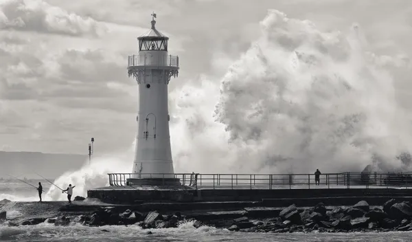
- Afternoon: The risk of precipitation peaks during the post-lunch hours. Isolated thunderstorms are expected to develop, bringing a 55% chance of rain to the region. Total rainfall is estimated at approximately 4mm, which may cause minor pooling on local roads.
- Evening: Following the sunset at 8:02 PM, the thunderstorm threat will gradually decrease. However, the region will likely experience lingering light rain or sprinkles throughout the night, with the heavy cloud base remaining firmly in place into Monday.
Wind and Safety Alerts
Winds are forecast to blow from the south-east at a steady 24 km/h. While no major gale warnings or coastal surge alerts have been issued by authorities, caution is advised during thunderstorm activity, as localized wind gusts can exceed average speeds. Visibility may also be reduced during heavy downpours, particularly for those traveling along the M1 Princes Motorway or the northern coastal roads.
UV and Sunlight Information
Sunrise occurred at 6:16 AM, but the sun is expected to remain largely hidden behind the overcast. Despite the lack of bright sunshine, the UV index is still rated as a 3, which is considered moderate. Skin protection is recommended for anyone spending more than 30 minutes outdoors. As the community looks ahead, these damp conditions are likely to persist briefly into the start of the work week before clearing.
Rock Orchestra and Fine Art Highlights: What’s On in Wollongong Today
Wollongong Morning Briefing: Coastal Safety and Community Sweets

Mt Ousley Carpark Closure and Nightly Lane Restrictions for Tuesday Commuters