Warm Autumn Highs and a Late Storm Watch for Wollongong
Unseasonable Warmth Grips the Illawarra
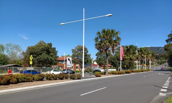
Wollongong residents can expect a significant jump in temperatures today, Friday, 10 April 2026, as an unseasonably warm air mass moves across the South Coast. While April typically brings a cooling trend to the region, today’s forecast suggests a return to summer-like conditions, with the mercury expected to climb well above the monthly average. Residents and commuters should prepare for a humid day, followed by a potential shift in weather patterns as we head into the late evening hours.
Morning: A Mild and Humid Start
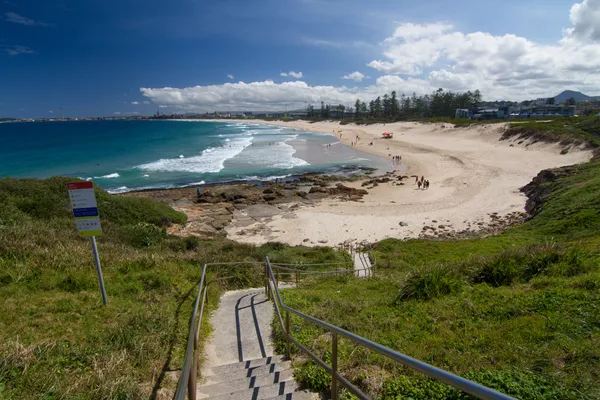
The day begins with a very mild morning, with temperatures starting around 20°C to 21°C. Cloud cover will be prominent during the early hours, leading to a high humidity level of approximately 70%. This will create a somewhat muggy atmosphere for those heading out on the morning commute or taking an early stroll along the Blue Mile. Winds will remain light, primarily coming from the north-east at 10 to 15 kilometres per hour, providing little relief from the morning humidity.
Afternoon: Peak Heat and Sunshine Spells
As the day progresses, the cloud cover is expected to thin slightly, allowing for periods of sunshine that will drive the temperature to a maximum of 28°C. This is notably warmer than the typical April average of 22°C. The UV index is forecast to remain at a moderate level, so sun protection is advised for anyone planning outdoor activities during the middle of the day. The north-easterly breeze will persist, occasionally gusting up to 20 kilometres per hour, which may bring some relief to coastal suburbs but will do little to lower the inland temperature across the Illawarra escarpment.
Evening: Late Storm Risk and Overnight Cooling
While most of the day will remain dry, the evening brings a shift in the atmosphere. Meteorologists are monitoring a 20% chance of isolated thunderstorms developing late tonight as a result of the built-up heat and humidity. While no severe weather warnings are currently in place for the Wollongong area, residents should be aware of the possibility of localized showers or a stray lightning strike after sunset. Conditions are expected to clear overnight, dropping back to a comfortable low of 20°C.
Weather at a Glance
- Maximum Temperature: 28°C
- Minimum Temperature: 20°C
- Conditions: Mostly cloudy with isolated late thunderstorms possible.
- Wind: North-easterly at 15-20 km/h.
- Humidity: High, peaking at 70% in the morning.
- Rainfall: 10-20% chance of less than 1mm, higher in localized storm cells.
Looking ahead, the heat is expected to break by Saturday morning as a southerly change moves through, bringing much cooler temperatures and clearer skies for the remainder of the weekend.
Theatre Magic and Local Markets: What's On in Wollongong Today
Friday Footy Fever and School Holiday Bliss: Your Wollongong Morning Briefing
Wollongong Traffic: University Diversions Conclude and Mount Ousley Upgrades Impact Friday Commute